What is Grading of Land?
Grading is a common practice that involves preparing the land for agricultural use by removing vegetation, excess crop residue, and brush. The process is not recommended when the soil moisture is above normal levels, so it is important to test the land prior to grading. To begin, land should be brought to the design grade, and a detailed plan should be created to outline the cuts and fills. Fills larger than six inches should be built up in successive layers. A final plan must be drawn up to complete the land planning process.
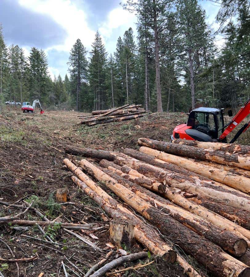
(Looking for forestry mulching services? Contact us today!)
![]()
Grassing of land
Grading of land is a process that levels soil, making it easier to build, maintain, and use. For example, if you’re building a stone walkway in front of your house, you’ll want to make sure that the ground is level. Otherwise, you risk creating an unsafe walkway. Grading of land also ensures that water drainage will be efficient, which helps keep your lawn and plants healthy.
Regarding
Regarding land involves the process of raising or lowering the level of the land. It may also be referred to as leveling. This process can help level the slope in a yard and direct water away from a home’s foundation. The process is typically performed with the use of a grader.
Surface smoothing
One of the most important aspects of land grading is surface smoothing. This process involves the removal of irregularities from the land’s surface, which can pose a tripping hazard and not look very attractive. Generally, land smoothing should be carried out after land grading is completed. The smoothing operation requires the use of special equipment. It is a crucial step in the seeding process because a smooth surface is essential for ensuring a good seed bed.
Excavation
Excavation for grading land is one of the last stages of land preparation before construction. The process involves clearing away vegetation and debris, leveling the land, and distributing topsoil. It also removes holes and preventable inclines.
Contour lines on a grading plan
When you look at a grading plan for the land, you’ll notice the contour lines, which follow the slopes of the site. Typically, they are drawn at intervals of about two feet, with wider contour lines indicating a gentler slope and closer ones indicating a steeper slope. You’ll also see spot elevations, which describe the slope’s relationship to mean sea level. In some areas, these lines are crucial.
Costs
The cost of grading land varies depending on the size and scope of the project. The larger the project, the more people and materials will be needed. However, some land grading projects can be completed by the landowner themselves for a much lower cost than hiring a land grading contractor.